and she might even be headed down Galveston way. It is of course too early to make definite predictions about where Hurricane Rita is going to make landfall, but there's been a
lot more consistency in the predicted tracks all of a sudden.
(scroll to the end of the post for the most recent satellite imagery and track predictions)
It's important in the wake of Katrina that we all take hurricane preparedness seriously. Other Houston-area bloggers of note are
Charles and
Kevin - I hope that they also keep an eye on this. A hit on our region of the Gulf
is very likely and we need to make sure we are ready. Here's
the relevant info page from NOAA that we should be bookmarking, especially given that Rita is
predicted to gain significant strength as she rounds the Keys and engters the warm open water of the Gulf.
And Houston, not New Orleans, is the real center of gravity for oil production in this nation. And
that industry is very vulnerable right now...
As far as Galveston is concerned, the great Hurricane of 1900 was the proverbial hundred year storm. Well, it's been 105 years. I live in Galveston county and I have my exit route planned. My wife is a resident at
UTMB however and so it is conceivable that she might be called to duty. If that happens I am staying with her and sending the baby to safety in Katy with my in-laws.
Eric Berger did do a
worst-case scenario story a while back in the Chron which put the potential damage from a "perfect" storm at about ten times the cost of Tropical Storm Allison. While wind damage woudl be pretty bad in and of itself, the storm surge along Clear Lake and the Ship Channel are the real concerns:
More devastation would be caused by winds blowing over the Gulf of Mexico and pushing surface water inland -- creating up to a 20-foot storm surge. Such a wall of water would swamp most development near Galveston Bay, including Texas City, Kemah and Johnson Space Center. Varying levels of water would flood much of the area between Sam Houston Parkway and the bay.
On Galveston Island, the seawall could hold back much of the storm surge, but at some point the water would creep onto the island from the bay side. The island's highest point is just 22 feet above sea level.
Much like a river becomes deeper and more turbulent when it narrows, a storm surge also can increase in height and intensity when its source of water narrows. Dodson said this has profound implications for the Port of Houston. Some models ended with a 30-foot wall of water in the Ship Channel near the port's turning basin, he said. "It would be huge," he said. "It could overwhelm chemical storage facilities, water treatment plants and other sensitive areas."
What was wierd about TS Allison was that it essentially parked itself over Houston for a week. The article above mentions that Allison could be considered more properly a 10,000 year event rather than a 100 year event. If thats true, then the flooding from a hurricane strike should drain relatively quickly. However, there's no real way to compare the effect of a hurricane at category 4 or 5 with the TS because of the added factor of the storm surge and winds. So really it is anyone's guess.
UPDATE:
Anne has posted at BlogHouston, and so have
Charles,
Laurence Simon,
Tom Kirkendall, and
Eric Berger.
UPDATE 2. The mayor of Galveston has
called for a voluntary evacuation. Buses will be provided staring at 10am wednesday. By then we should know whether Rita is really going to be knockin' on our door or not.
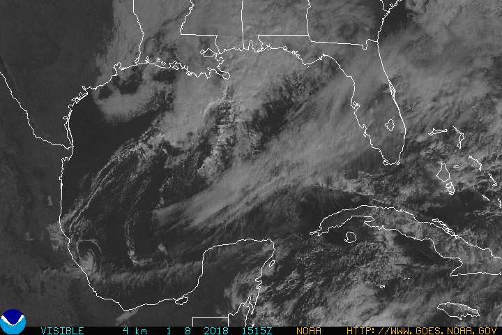
Here are some graphics from NOAA which should be automatically updated with the latest information. Reloading the URL to this post will give you the most recent version.
5-day cone of probabilityApproximate representation of coastal areas under a hurricane warning (red), hurricane watch (pink), tropical storm warning (blue) and tropical storm watch (yellow).
 72-hours 75-miles strike probability
Probability, in percent, that the center of the tropical cyclone will pass within 75 statute miles of a location during the next 72 hours.
 Satellite imagery (visible spectrum)


